
On a map, downtown Sapporo looks like it was designed for strolling. The streets run in a tidy grid, Odori Park draws a long green line through the middle, and the TV Tower, the Clock Tower and Susukino all appear to be a pleasant wander apart. Ask whether Sapporo is walkable and you’ll hear an enthusiastic yes almost every time.
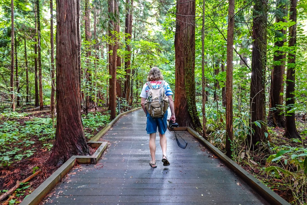
I’d say yes too. By the end of our stay I’d decided Sapporo was pedestrian-friendly, backed by an excellent transport system, and a much easier city to get around than some others I’ve navigated in Japan. But I should come clean about how much walking Audrey and I actually did between neighbourhoods, because the answer is very little. From our hotel overlooking Nakajima Park, the only place we walked to was the park itself. Everywhere else we rode the subway or streetcar, then explored on foot once we arrived, because it was simply too hot and humid to leg it.
That gap between “walkable” and “actually walked” is what this article is about: where walking Sapporo genuinely works, where it stops making sense, why the city is so hard to get lost in, and how the underground passages, subway, streetcar and one transit card fill in the gaps.
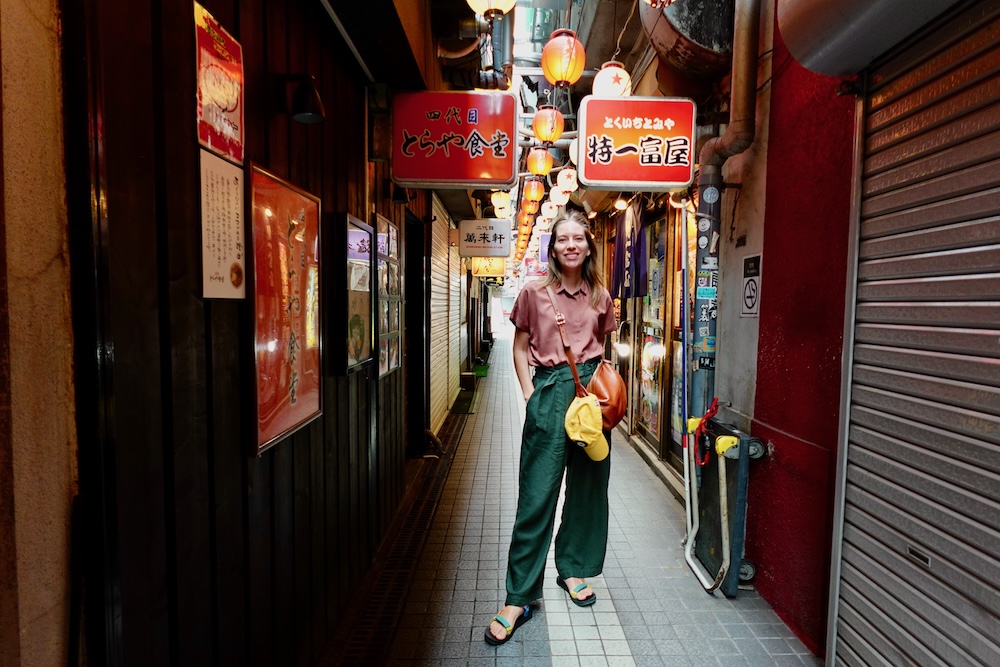
The Short Answer: Walkable in Neighbourhoods, Not End to End
The walkable heart of Sapporo is a single north–south spine running from JR Sapporo Station through Odori to Susukino. It’s about 1.5 km, roughly 20 minutes on foot, and a bit longer if you’re stopping at every traffic light above ground. Along that spine and inside the city’s parks, walking is easy and often the best way to see things. Head anywhere beyond it, though, and the distances pile up quickly enough that the subway and streetcar start earning their keep.
Here’s how the common hops shake out:
| Hop | Approx. distance on foot | Transit option | Our take |
|---|---|---|---|
| Sapporo Station ↔ Odori | About 520 m underground, roughly 10 minutes | One stop on the Namboku Line | Walk it, underground if the weather’s bad |
| Odori ↔ Susukino | About 8 minutes | One stop on the Namboku Line; underground shopping passages link them too | Walk it |
| Susukino ↔ Nakajima Park | About 9 minutes | One Namboku stop, or the streetcar | An easy walk in decent weather |
| Odori ↔ Maruyama Park and Hokkaido Jingu | Nearly 3 km, around 35 minutes | Tozai Line to Maruyama-kōen | Ride |
| Central Sapporo ↔ Sapporo Beer Museum | Roughly 20–25 minutes from Sapporo Station | Tōhō Line to Higashi-Kuyakusho-mae, then a 10–20 minute walk, or a direct bus | Ride, then walk, which is what we did |
| Odori ↔ Mount Moiwa ropeway | Not a sensible walk | Streetcar, about 20 minutes to Ropeway-Iriguchi | Ride |
| Central Sapporo ↔ Makomanai and the southern outskirts | Not a walk at all | Namboku Line to the end, then a bus | Ride, and plan for most of a day |
Where you sleep decides how much of that table you’ll actually do on foot. The middle of the spine puts the first three rows within an easy walk in either direction, so if you’d like to cover as much as possible on foot, start by looking at hotels around Odori, at the centre of the walkable core. I compare all the main bases further down.
Where Walking Sapporo Works
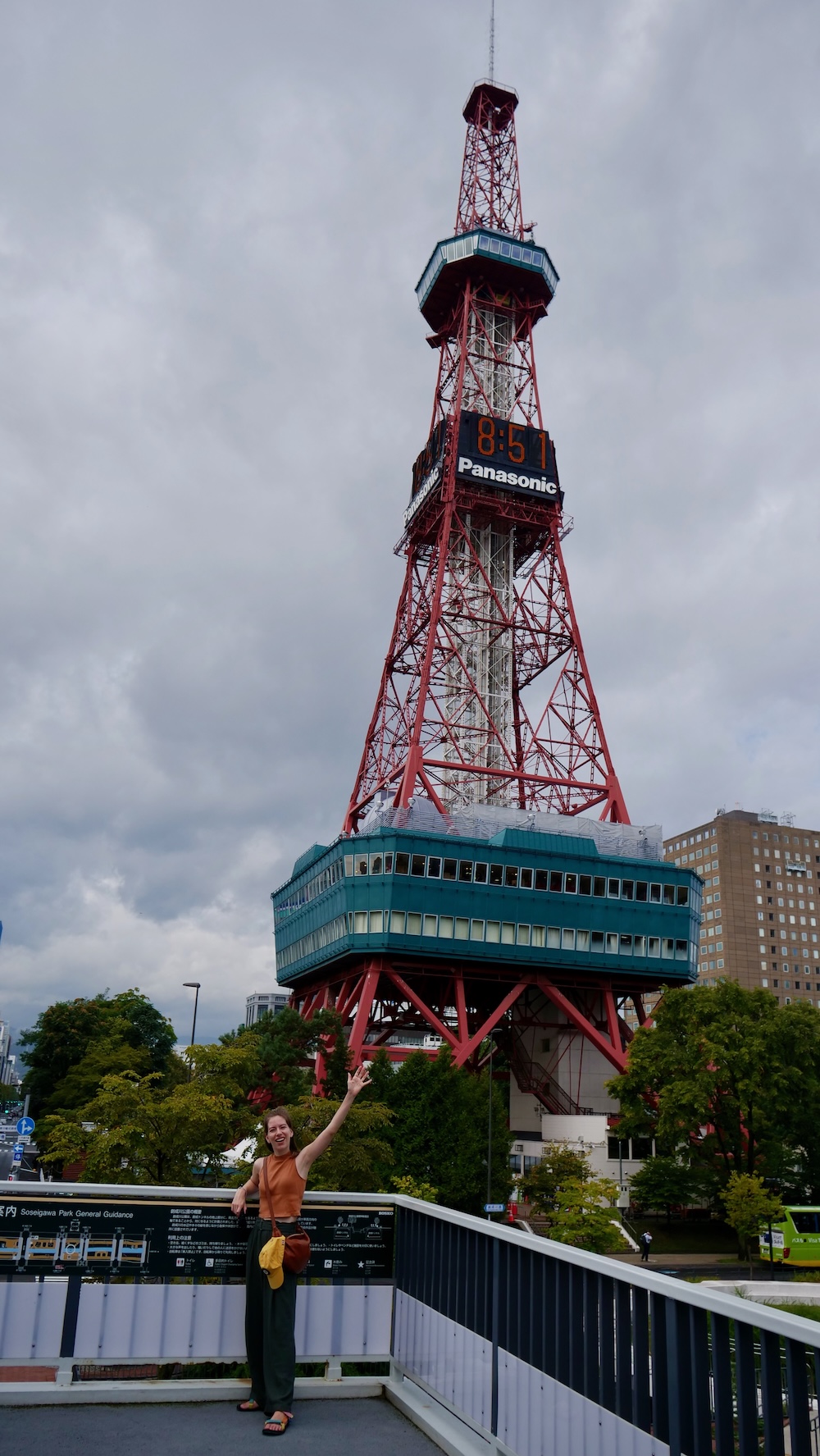
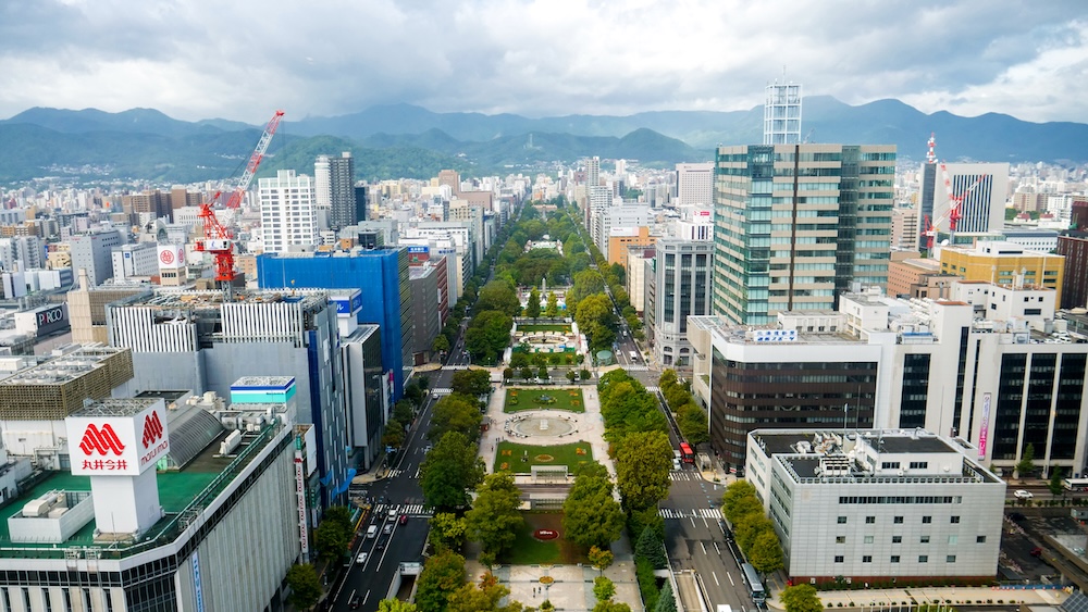
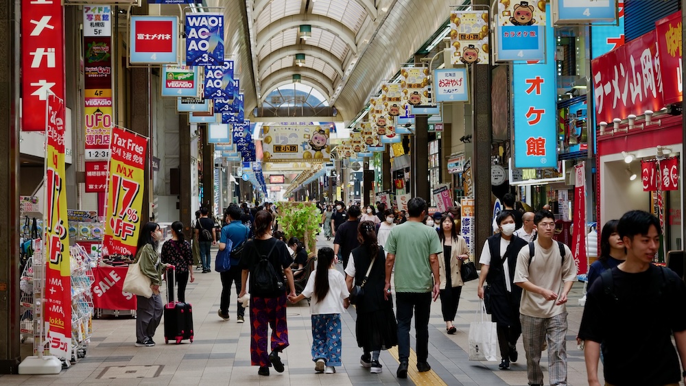
The central core is where Sapporo lives up to its walkable reputation. From the top of the TV Tower we just walked a couple of blocks over to the Clock Tower, and Odori Park unrolls from the TV Tower at Nishi 1-chōme all the way to the old court building at Nishi 13-chōme. That’s about 1.5 km from end to end, around 20 minutes on foot. South of the park, Tanukikoji is a covered pedestrian shopping street of about 900 m, running seven blocks with roughly 200 shops. It’s the kind of place where walking is the whole point, and the roof overhead turns out to be worth a great deal once the sun or rain gets serious.
We explored this stretch on our own, but if you’d like someone to explain what you’re walking past, there are guided options that stick to exactly this core. One current small-group morning walk runs for about two hours and roughly 3.2 km, starting at the TV Tower and taking in the Clock Tower before finishing at the old red-brick government office. You can see the details of the guided walk through central Sapporo. It’s useful to know that’s a fair bit of walking for two hours, which says something about how spread out even the “compact” centre is.
Walkable doesn’t mean effortless, though. After a morning of wandering around the Odori area, we flopped down in the park with something cold to eat. As Audrey and I joked at the time, it’s a very realistic travel tip: you get hot, you get tired, and you need to rest your legs. Short distances still add up when you’re stopping, looking, photographing and backtracking all day.
Inside the Parks, Walking Is the Point
Sapporo’s green spaces are where walking stopped being transport and became the reason for going. Maruyama Park is a sprawling space laced with walking paths, and the trail into its primeval forest was one of the quietest, most memorable walks of our trip. Nakajima Park, right beside our hotel, has trails circling a large pond. Even out in the southern outskirts, the sculpture garden at Sapporo Art Park was a beautiful wander along streams and stepping stones. In every case we rode to the edge, then walked.
Where We Stopped Walking
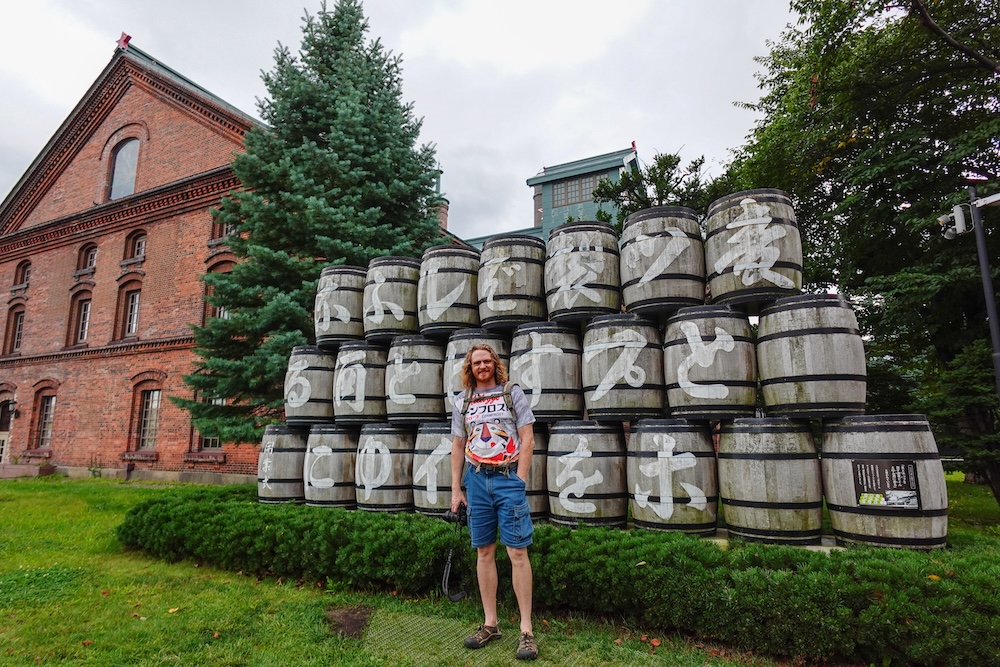
Now for the honest bit. Despite all of the above, we barely walked between areas. Our walking from the hotel began and ended at Nakajima Park, and to go anywhere else we hopped on public transport. Even the Sapporo Beer Museum, which isn’t especially far out, meant riding the metro and then walking a few blocks.
Distance is part of the reason. Maruyama Park sits nearly 3 km from Odori, and the southern outskirts are another trip entirely. The bigger reason was the weather. Sapporo’s average September high is only about 23°C, but our first days there ran closer to 30°C with heavy humidity, and Audrey wasn’t shy about saying how much she was struggling with it.
What she might not realize is that I mind the heat even more than she does. Whenever Audrey is complaining about the heat, I’m usually suffering at about one and a half to one and three-quarter times her level and trying to look composed about it. Under those conditions, a 35-minute walk to Maruyama or a sweaty trek to the Beer Museum wasn’t going to happen when a cool subway carriage was a few minutes away. The good news is that Sapporo makes that decision painless, for reasons that start with how easy it is to find your way around.
The Grid That Makes Sapporo Hard to Get Lost In
Navigation never really tripped us up. We often had a fair distance to cover, but the layout itself was rarely confusing.
The credit goes to the grid. Central Sapporo is laid out around two axes: Odori Park divides the city into north and south, and the Sōsei River divides it into east and west. Addresses count blocks outward from those lines, with jō measuring north or south and chōme measuring east or west. Sapporo JR Tower, for example, sits at Kita 5-jō Nishi 2-chōme, which simply means five blocks north and two blocks west of the centre. Once that clicks, an address works almost like a map coordinate, and you can picture roughly where something is before you’ve even pulled out your phone.
If the way the city was planned interests you as much as getting around it, one current small-group walk is built around precisely this. It’s a roughly three-hour history and art tour, limited to six people. It starts at the TV Tower and covers the role Odori Park plays in Sapporo’s city planning, then heads along the Sōsei River, through Tanukikoji and into the underground walkway before finishing at the red-brick government office. Fair warning: it’s close to 10,000 steps. You can check dates for the city-centre history and art walk.
Going Underground When the Weather Turns
Sapporo’s underground passages ended up earning their keep for every reason you can think of: escaping the heat, staying dry in the rain, and plain old convenience.
The backbone is Chi-Ka-Ho, a wide underground walkway opened in 2011. It runs about 520 m beneath Ekimae-dōri from Sapporo Station to Odori, takes around 10 minutes to walk, and feeds straight into Odori Park. From there, the route continues through the Aurora Town and Pole Town underground shopping malls, so you can travel from Sapporo Station all the way to Susukino without stepping outside. That’s the single most useful thing to know about walking Sapporo in bad weather: the stretch where you’ll do most of your walking has a covered, climate-controlled twin running underneath it.
Why the Underground Matters Even More in Winter
We haven’t been to Sapporo in winter, so this is planning context rather than experience. The city’s roads and pavements become slippery and frozen, especially from mid-December to February. Pavements near stations and other busy public places are treated with de-icing agents, but the official advice is still to take small, sliding steps and keep your centre of gravity low. You can buy anti-slip attachments for your shoes at convenience stores. Visitors who aren’t used to icy streets are encouraged to stick to the downtown underground passages even if it means a detour, and locals do their bit by scattering sand from roadside grit bins over the worst stretches. If you’re heading there in the colder months, read the city’s winter walking tips before you go.
It also changes where it makes sense to sleep. In winter I’d want a hotel within easy reach of that underground network, so that the walk from the front door to the first covered passage is as short as possible. Since Chi-Ka-Ho starts at the station, it’s worth looking for a winter base close to Sapporo Station and the underground walkway.
Subway, Streetcar and a Kitaca Card: How We Filled the Gaps
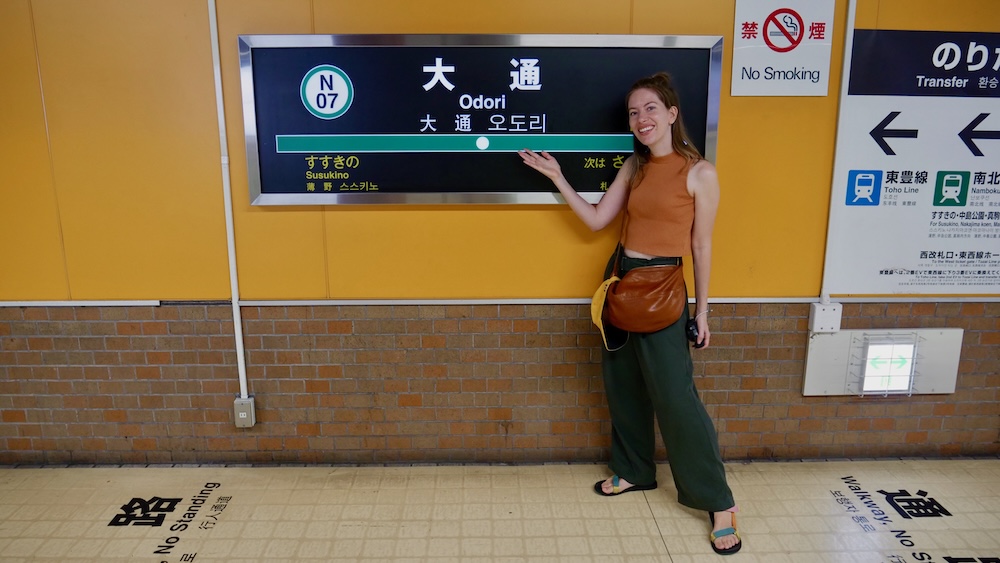
What made riding everywhere so easy was a single transit card. When we arrived in Sapporo by train, we bought a Kitaca card right there at the station. It was easy to buy, we loaded it with cash, and from then on we just tapped in and out of the subway. You can also use it to pay at convenience stores. When it was time to top up, the machine we used had an English option, so we pressed that, loaded ¥1,000 and carried on. Honestly, it was very efficient. On a previous trip to Japan we’d used a Suica card, and these IC cards work nationwide, so a Kitaca bought in Hokkaido works just as well around Tokyo.
That also cuts the other way. Sapporo’s subway and streetcar accept Kitaca, Suica and the other main national IC cards, so if you’ve already picked one up elsewhere in Japan, there’s no need to buy another. Kitaca itself is sold at stations in its network and at JR ticket offices. If you’re planning a lot of rides in a single day, a subway day pass is also available.
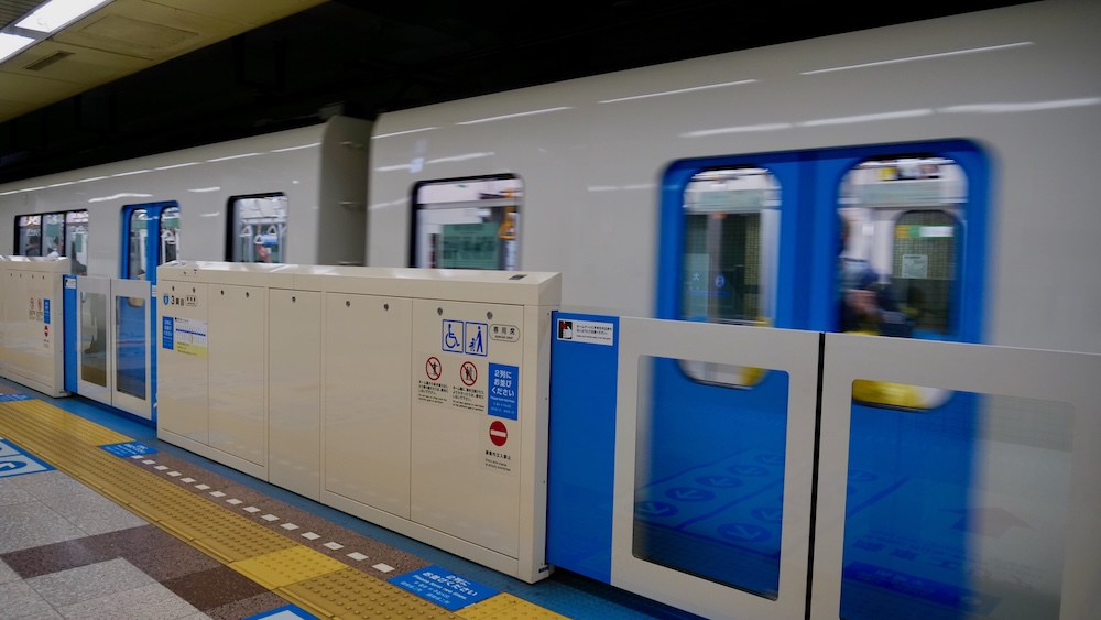
The subway system is about as simple as these things get. There are three lines: the Namboku Line in green, the Tozai Line in orange and the Tōhō Line in blue. All three meet at Odori, while Sapporo Station is served by the Namboku and Tōhō lines. Keep that one interchange in mind and it’s hard to go wrong.
We also used the streetcar, which became a full loop in 2015 and now runs about 9 km through the south and west of the centre at a flat fare. It doesn’t stop at Sapporo Station, so you’ll board near Odori at Nishi 4-chōme or down at Susukino. From there it passes Tanuki-kōji, Nakajima-kōen-dōri and Ropeway-Iriguchi, the stop for Mount Moiwa. Between the subway, the streetcar and our Kitaca, we never needed a taxi and never ran into any real friction.
Where to Stay If You Want to Walk More
Picking a base is the one decision that genuinely changes how walkable Sapporo feels day to day. Sleep on the spine and much of your walking happens without you having to plan it. Sleep a little off it and you’ll ride more, which, as we found out, is no great hardship. We only stayed by Nakajima Park, so the other areas below are judged on their position in the city rather than a night under their roofs.
| Area | Where it sits for walking | Best for | Compare places to stay |
|---|---|---|---|
| Sapporo Station | North end of the spine, where Chi-Ka-Ho begins; Odori is about 10 minutes underground | Airport and day-trip trains, and winter stays close to the underground network | Hotels near Sapporo Station |
| Odori | The middle of the spine, where all three subway lines meet, with Odori Park and Tanukikoji on the doorstep | Walking the most on foot in both directions | Hotels around Odori Park |
| Susukino | South end of the spine, linked to Odori underground and by one subway stop | Nightlife and late-night food within walking distance | Places to stay in Susukino |
| Nakajima Park (where we stayed) | About 9 minutes’ walk or one subway stop south of Susukino, with a streetcar stop nearby | A greener, quieter base with park walks right outside | Hotels around Nakajima Park |
If walking as much as possible is your priority, Odori is the obvious pick because it sits in the middle of everything worth walking. If you’ll be leaving on the train a lot, or visiting in the depths of winter, Sapporo Station makes more sense. Nakajima Park suited us because we wanted somewhere calmer with green space right outside the door, and in a humid September we were going to be riding most places anyway.
Our Verdict: Walk the Neighbourhoods, Ride Between Them
Sapporo is walkable where it counts. The spine from Sapporo Station through Odori to Susukino is short, flat and almost impossible to get lost on, and its parks are a pleasure on foot. What it isn’t is a city you’ll comfortably cross end to end. Maruyama, the Beer Museum, Mount Moiwa and the outskirts are all better reached by subway or streetcar, with the walking saved for when you arrive.
How far you push beyond that depends on the weather and your tolerance for it. On a mild day, if you enjoy walking, you can cover the spine and the stretch down to Nakajima Park on foot and have a lovely time doing it. Keen walkers who want a bit of local context along the way can browse the full range of Sapporo walking tours. If you land in a humid spell and wilt the way I do, lean on the subway and the underground passages without a shred of guilt. In winter, make the underground routes your default. Either way, my verdict from the end of our trip still stands: Sapporo is very easy to get around, even if most of our getting around happened on wheels.

Frequently Asked Questions
Is Sapporo walkable?
Yes, within its central spine and its parks. Sapporo Station to Susukino is about 1.5 km, roughly 20 minutes on foot, but places like Maruyama Park, the Beer Museum and Mount Moiwa are better reached by subway or streetcar.
Can you walk from Sapporo Station to Susukino underground?
You can. The Chi-Ka-Ho walkway runs about 520 m from Sapporo Station to Odori, and the Aurora Town and Pole Town underground malls continue on to Susukino, which makes the whole stretch usable in heat, rain or snow.
Did you walk between neighbourhoods in Sapporo?
Very little. From our hotel by Nakajima Park, the only place we walked to was the park itself. It was too hot and humid to leg it, so we rode the subway or streetcar and explored on foot once we arrived.
Is it easy to find your way around Sapporo?
Navigation rarely tripped us up thanks to the grid. Odori Park divides the city north and south, the Sōsei River divides it east and west, and an address like Kita 5-jō Nishi 2-chōme means five blocks north and two blocks west of the centre.
Do I need to buy a new IC card in Sapporo?
Not if you already have one. Sapporo’s subway and streetcar accept Kitaca, Suica and the other main national IC cards. We bought a Kitaca at the station when we arrived by train, and topping it up at a machine with an English option was easy.
Where should I stay in Sapporo if I want to walk more?
Odori sits in the middle of the walkable spine, so it puts the most within walking distance. Sapporo Station suits train trips and winter stays near the underground network, Susukino suits nightlife, and we enjoyed the calmer, greener Nakajima Park area.
Is Sapporo walkable in winter?
We haven’t visited in winter, but roads and pavements get slippery and frozen, especially from mid-December to February. The underground passages are the safest way to walk the centre, and anti-slip shoe attachments are sold at convenience stores.
This article is also available in Spanish. [Leé la versión en castellano: ¿Se puede recorrer Sapporo a pie? Cómo fue movernos para nosotros]
This article contains affiliate links. If you book through one of these links, I may earn a commission at no extra cost to you.